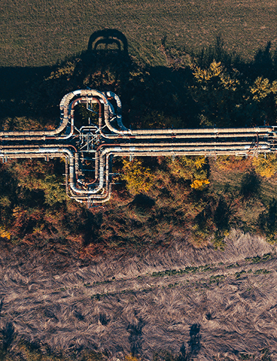
Our data includes field-validated attributes and spatially accurate locations, and with over 100 attributes, it is the most complete and trusted source of pipeline data available.
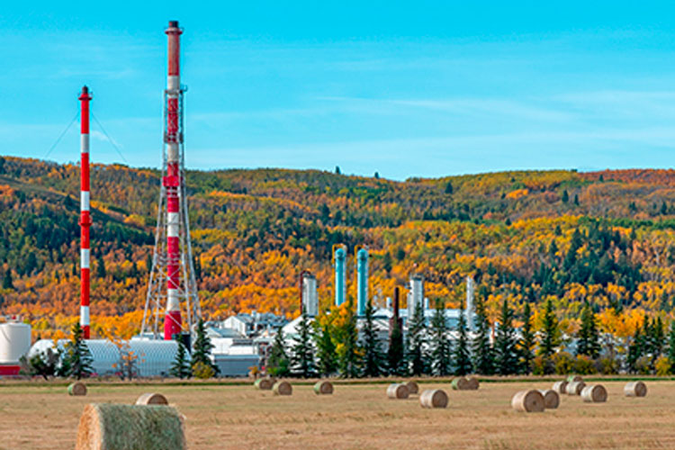
Our data offers a complete record of Upstream facilities, including Batteries, Compressors, and Gas Plants, across all of Western Canada and the Northern US. Compiled using records from government sources and operators, it includes spatially accurate locations and operational details including licensed capacities, ownership history, and production volumes.
Our Downstream and Industrial Facility data includes all major infrastructure that plays a critical role in the North American energy supply chain. We have compiled information on both refineries and large energy consuming facilities, including Power Generation, Manufacturing, and Mineral Extraction. Emissions information, such as CO2, is included to help industry stakeholders progress on their climate change commitments.
Our Environmental Incident data includes current and historical environmental incidents associated to pipelines, wells, and facilities. Details include the type of incident, product and volume released, location, cause type and damage type.
Our Transportation data combines public roads with resource roads operated by the energy, forestry, mining, and recreational industries to deliver a comprehensive and spatially accurate collection of road information. Attributes include road ownership and names, accurate topology, and connectivity to well sites and facilities.
Our low-pressure gas utility data includes distribution pipelines in Alberta, outside of major cities and First Nation Reserves. Information contained in the database includes the spatial location of distribution lines, operator, status, as well as outside diameter and pipeline material information where available.
The GDM Frontier Land Database is the most comprehensive and detailed source of active mineral lease data available for areas in Canada outside the Western Canadian Sedimentary Basin.


